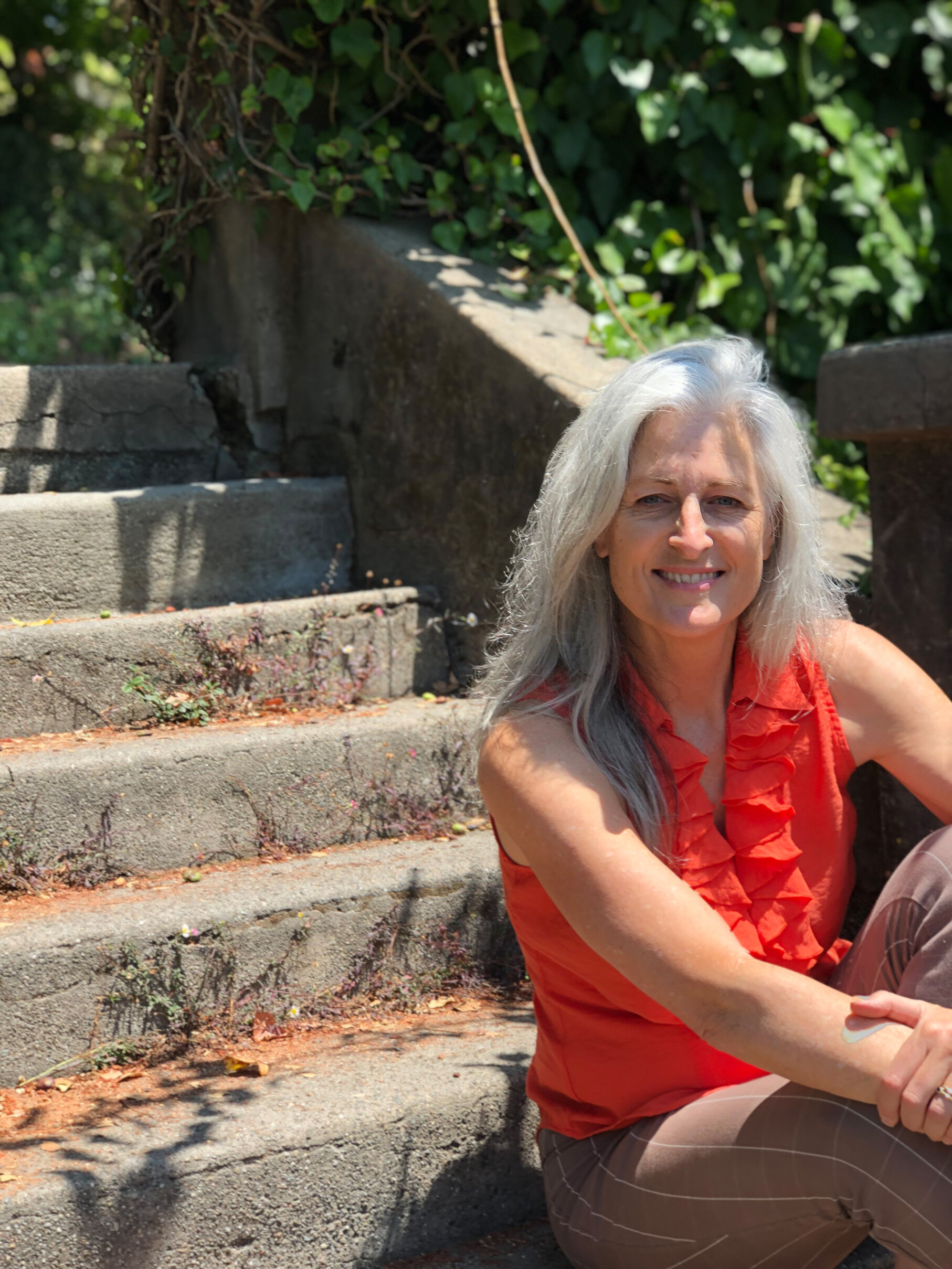
Karen Kemp helped design the first Berkeley paths map.
Some 20 years after serving on the first Path Wanderers board, Karen Kemp has returned to help reboot the lovely notecards that she designed for us then, featuring her original watercolors of Berkeley paths.
“It was probably Jacque [Ensign] who said, ‘We should do some notecards,’” Kemp recalls of the BPWA founder. “It’s still a dear project. I’m really happy that the Path Wanderers reached out to me and wanted to republish them. It’s been a long time.”
The sets of 4 notecards — which are now available for purchase at berkeleypaths.org — feature Rose Walk, Billy Jean Walk, Fountain Walk, and La Vereda Steps.
Kemp’s path to designing the notecards — and our famous map — started when she was a teenager growing up in Walnut Creek, where she loved to wander the foothills of Mt. Diablo and had heard that there were paths in the Berkeley Hills. Later in the 1990s, in her thirties and living in Emeryville, she discovered the “Very Best of Berkeley” map at the Berkeley Chamber of Commerce, a cartoon map that included some paths.
“The idea of public pathways fascinates me,” she says. “It’s great to be outdoors in the middle of nowhere with a lot of spectacular views and things to look at.”
A new organization of path advocates
Sets of 4 notecards, with original watercolors by Karen Kemp, are available at our online store on Berkeleypaths.org.
At the Chamber of Commerce she met Eleanor Hall Gibson, another founder of the Berkeley Path Wanderers Association, who told her that a new organization was forming to advocate for the paths.
“I was working by myself as a graphic designer,” Kemp says. “I wanted to find something personal that really mattered to me.” She began exploring the paths, painting them, and gathering information on their history.
“I wanted to make a story about the paths. I was doing a lot of research at the Berkeley Architectural Heritage Association, the Bancroft Library, and the Berkeley Historical Society. Paul was a great resource too,” she says, remembering Paul Grunland, the local historian and a founding board member of the Berkeley Path Wanderers.
“I would go out there and pick a spot on a path and paint,” Kemp says. Those watercolors of the paths are featured on the notecards.
First Berkeley paths map
As a member of the first BPWA board in the late 1990s, Kemp designed and laid out the organization’s newsletters on legal-size paper, which also included her path drawings. (I edited the newsletter with her at that time, too.)
Even more important, Kemp was instrumental in designing the first “Berkeley and Its Pathways” map. Now in its 9th edition, the map has sold nearly 40,000 copies and helped tens of thousands of happy walkers to explore the Berkeley paths.
“It was Jacque’s idea. She really wanted to have a map,” Kemp says. “We really had no idea if there would be any interest in it.”
“The map committee included 8 to 10 people who sat around a table and explored what it should look like,” Kemp recalls. She guided the committee on graphic design and worked with the mapmaker (Hedberg).
“We couldn’t have done it without it her,” Ensign says. “Her graphic design skills, her ideas about paper, her knowledge of colors. Then finding a mapmaker that we would like and that we could work with. Without her and Paul, it never would have happened. And it’s worked out very well.”
At that time no one had any idea that the map would be so successful.
“Immediately it was really a hit,” Kemp says. “We went through several editions really quickly. We printed it two more times. It was a big surprise, and we were all really excited.”


