
 Image 1 of 1
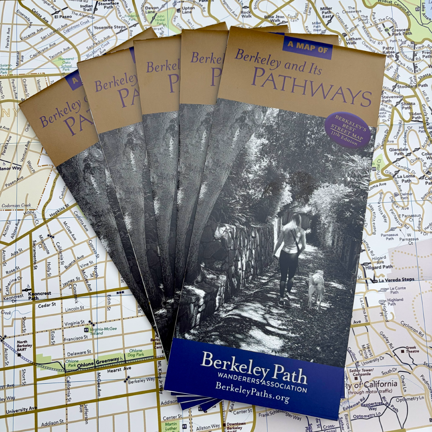
Want to explore Berkeley on foot? Berkeley and Its Pathways is the indispensable guide to the picturesque public stairways, ramps, and footpaths that make walking in our city so special. Now in its 11th edition, it’s also one of the best street maps of Berkeley.
What's new in the 11th edition?
A beautiful new cover: Featuring Sunset Trail, the only public path in Berkeley that can be reached only by taking another pathway!
Four-color printing: Creeks appear in blue, while parks and schoolyards are highlighted in green.
More points of interest: Including public libraries, community and senior centers, and swimming pools.
Expanded campus coverage: A complete guide to streets and paths on the UC Berkeley and Clark Kerr campuses.
Updated bike information: Including the latest protected bike lanes.
Find your way around Berkeley
The map makes it easy to distinguish paths from streets: public paths appear as bold, solid blue lines; streets are shown in shades of gold; and 16 unfinished or impassable paths are marked with blue dashes.
Major streets are distinguished from smaller ones, while bicycle boulevards, protected bike lanes, and street barriers are clearly indicated. Handy indexes of streets and paths make navigation a breeze. The path index even tells you how many steps each stairway has. Can you find the path with the most steps?
A Berkeley best seller — 55,000 copies and counting!
There are plenty of reasons Berkeley and Its Pathways has become a local favorite. It's printed on durable, stain- and water-resistant paper that won't tear along the folds. And it's packed with useful information, including:
Public restrooms and BART stations
Existing and historic creeks
Paths throughout UC Berkeley and the Clark Kerr campus
Paths in city parks, including parts of Tilden Park, and at the Berkeley Marina
The Ohlone Greenway and Santa Fe Right of Way
Paths just beyond Berkeley's borders in Oakland, Kensington, and Albany
The perfect Berkeley gift
Looking for a distinctive gift? Our maps are a hit with Berkeley lovers, walkers, and explorers. Some path enthusiasts even give them to guests at weddings, graduations, bar and bat mitzvahs, and other celebrations. They're also popular as favors for holiday gatherings and dinner parties. Why not share the joy of discovering Berkeley on foot?
Get your map today!
At just $12.95, Berkeley and Its Pathways remains one of the best values in town. And 5- and 10-map packs offer an even better deal.
Every map you purchase through our online store supports our mission to build, maintain, and add handrails to Berkeley's much-loved network of public paths. Thank you for helping keep these special places accessible for everyone!
Realtors: Want to give your clients the best map of Berkeley? We offer volume discounts! Get in touch at maps@berkeleypaths.org.